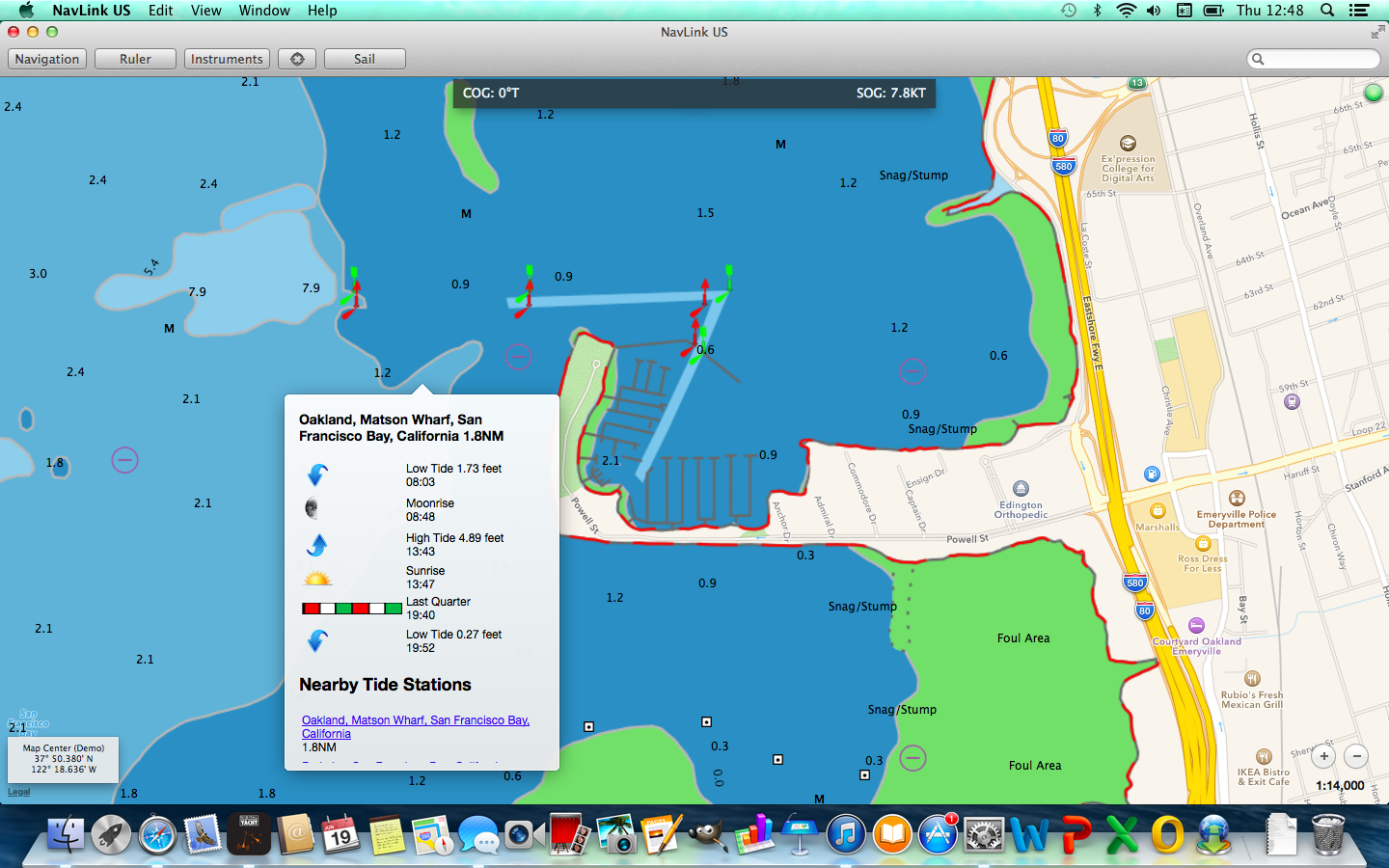
A new, $29.95 MAC application called NavLink US from Digital Yacht will turn your MacBook into a full featured, electronic charting system with detailed US charting and real time GPS and AIS support for easy, yet advanced navigation.
NavLink MAC is an Apple MAC based electronic charting and navigation package which turns a MacBook into a full function chart plotter. The application comes complete with highly detailed US NOAA vector charts and allows real time positioning, tracking and routing. Simply create a route with a click of the mouse to quickly and easily get bearing, distance and ETA information to your destination. AIS targets can also be overlaid onto the electronic charting. Charts can be zoomed and panned using intuitive finger gestures on the MAC track pad.
The MAC will require a GPS connection for location and optional connection to AIS if an AIS overlay of targets is required. Digital Yacht’s range of GPS sensors or their low cost USB-NMEA adaptor can be utilised to connect the MAC to the boat’s GPS/AIS system. Alternatively, for a wire free solution, NavLink supports a connection via wifi to any of Digital Yacht’s NMEA to wireless devices such as iAIS and the WLN10.
The seamless charts feature incredible detail as they are derived from official NOAA data and show buoys, navaids, depth contours, wrecks, spot depths, restrictions etc. NavLink also supports “drill down” data so an object such as a buoy can be queried for its characteristics. Weather buoys are also supported for local weather conditions (an internet connection is required for this live data) and a tidal atlas is included. NavLink MAC users can also share routes with the NavLink iPad app.
NavLink has been designed from the ground up to take advantage of the MACs simplicity of operation and clarity of the high resolution displays on Apple’s latest products. Priced at just $29.95, it’s available for download from the MAC app store right now


