Our new charting and navigation app for iOS is now out with UK chart coverage. You can download via the app store and its just £19.99 including detailed UKHO (Admiralty) charts covering the whole of the UK & Eire. The US version will be available soon and others areas are coming once charting royalties and licencing with hydrographic offices is resolved. Here are some neat features and more will follow in later posts:
Route Sharing
Building a route is as simple as tapping on the screen. Once you’ve created your route, you can export to another user via email (great for briefing the crew) or even export as a Google compatible KMZ file for overlay on Google maps. Nice!

Weather Info
Weather buoys which are situated around our coast provide local wind, temp, pressure and swell/wave information. Tap on the “info” feature to bring up current conditions. The pic below shows the weather off Land’s End (by the Seven Stone’s) last night – not nice, 43 knots of westerly wind!!
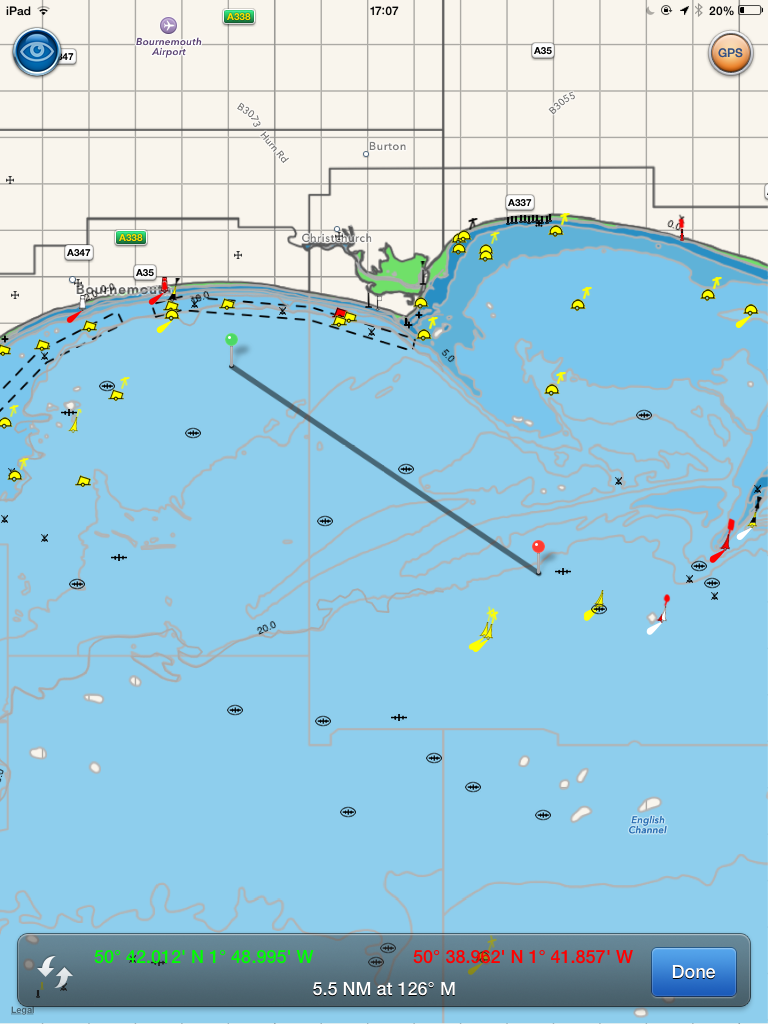
A-B chart ruler
Want to measure a quick bearing and distance – just use the A-B chart ruler – there’s even a quick recriprocal feature too


