


NavLink for MAC is a full featured chart and navigation app for MacBook PCs. It’s designed to integrate with Digital Yacht NMEA to WiFi devices so you can stream real time NMEA AIS and GPS data from your boats’ systems to the MacBook for a complete wireless solution. It’s also compatible with our USB products such as the AIS100USB, GPS150USB and general purpose NMEA-USB adaptor. Even if you have a sophisticated chart plotting system on board, a MacBook makes a fantastic 2nd station system and the track-pad is the most intuitive of devices with pinch to zoom and super fast panning and scrolling.

NavLink has just had an upgrade with new features like AIS target scaling as shown below. This is great when making anti collision calculations as you can see if you’ll pass ahead or astern of a vessel. Targets are also colour coded and the AIS presentation is much better than a traditional chart plotter
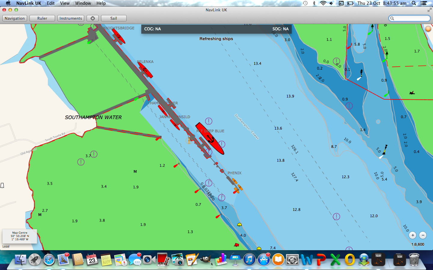
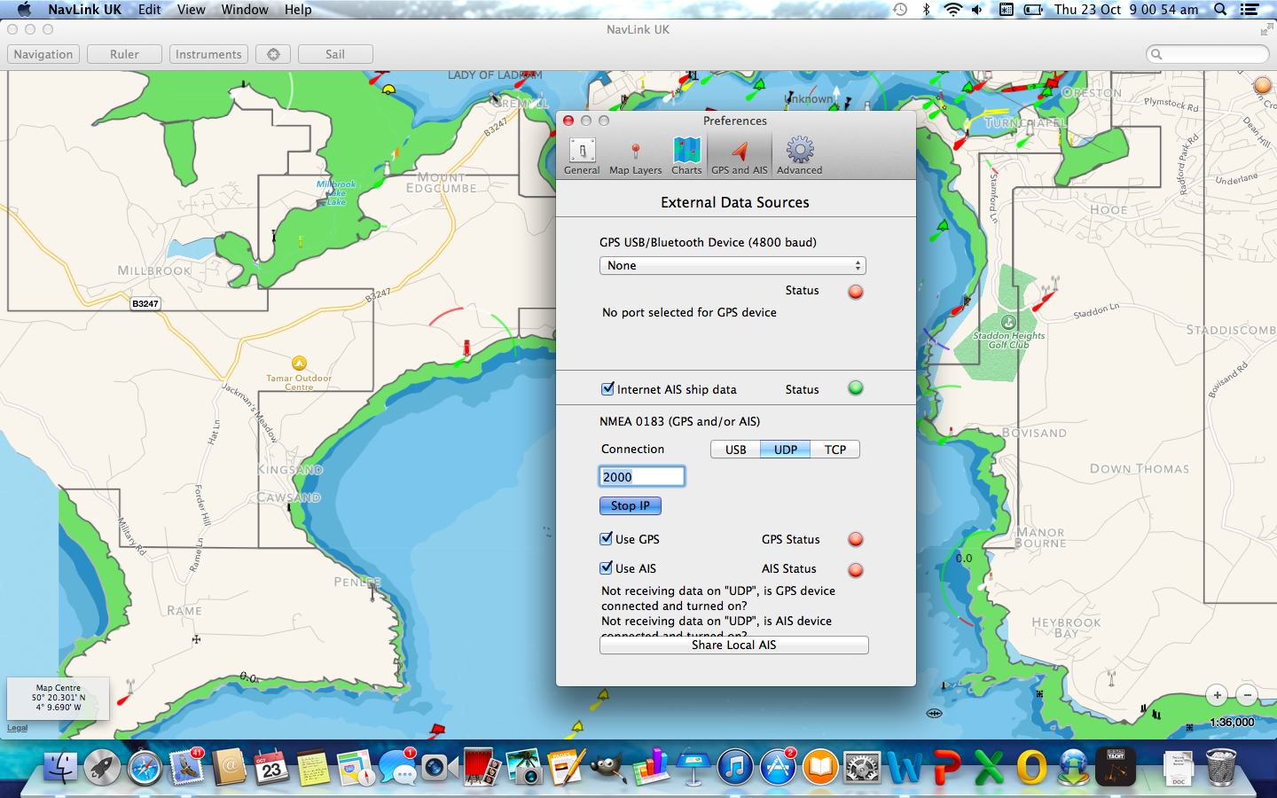
Also new is AIS and GPS integration via USB or Wireless and an option for Internet AIS (you’ll need to be online for this to function) which is great for planning or seeing what’s about in other ports. This can be enabled/disabled as required.
Plus there’s lots more. We’ve put together a short presentation on all the new features to download from HERE
Detailed charts are included. The UK version utilises UKHO accurate and detailed charts and the US version utilises NOAA charting for the best in reliability. Chart updates are automatically downloaded
Available as NavLink UK and NavLink US versions, you can purchase direct from the Apple MAC store. A North European version will be available shortly
Great news for Mac owners. There is one big problem for us cruising in the Caribbean – no charts. Do you plan to make charts available for the Caribbean or can other charts eg Navionics be used? Thanks.
Regards,
David Tesar
Sent from MERLIN’s iPad
>
Hi David,
Unfortunately our NavLink US app only includes the NOAA S57 vector charts and is subject to the same geographical limits as NOAAs paper charts i.e. only the US Virgin Islands are covered in the Caribbean. We are working on this and looking at other HO data or private chart producers but it is not going to happen this year (2014).
Best regards PAUL
This all looks very nice and I have downloaded a copy to experiment with. Do you have plans for extending the charts to Iberia and also to include the display of weather grib files?
Hi Martin,
Yes we are constantly looking to expand our chart coverage and will be offering a “European” version of the NavLink Mac App that includes charts of Northern France, Benelux, Germany and Denmark. However, it does involve a lot of negotiation and agreements with various European Hydrographic offices for this to happen and is not something that we can do overnight.
All I can say really is, “watch this space” !
Best regards PAUL