Summer is arriving and the last place you want to be stuck, figuring out your charts and navigation, is down below at the chart table or lower helm. Here’s how the WLN20 NMEA-WiFi navigation server can enable next generation navigation and start to integrate your smart phone, tablet, PC or MAC into your boat’s navigation system.
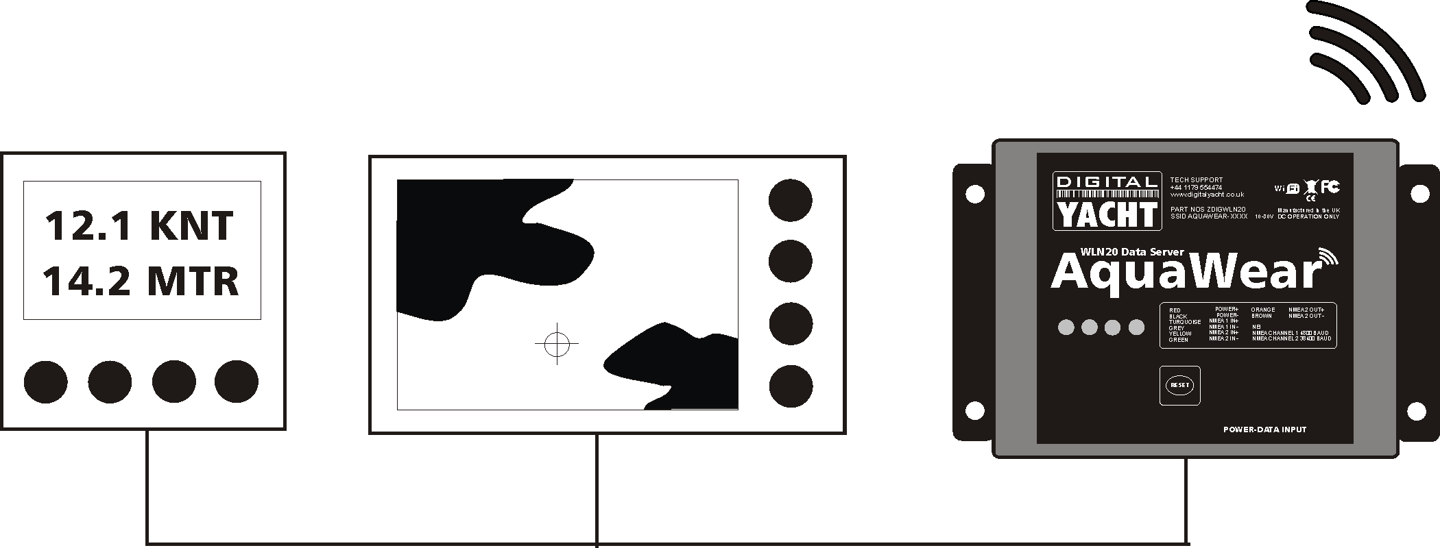
The WLN20 connects to your existing boat instruments, plotter and even an AIS thanks to its dual NMEA inputs. It then creates a wireless hotspot on your boat so anybody with a smart phone or tablet can connect and gather real-time boat nav data to be displayed on a variety of low cost charting, instrument, AIS and boating apps.
Installation is simple – just connect using a simple 2 wire NMEA connection to existing products and you’ll upgrade your boat to next generation wireless navigation. Multiple devices can also connect so your on board data can be shared with all your crew.
You can watch the video here to find out more
As a bonus, the WLN20 ships with a stylish wrist case allowing you to literally wear your smart phone on your sleeve – it’s amazingly practical – think of anchoring at the bow and being able to glance at the depth or trim sails while looking at VMG. That’s why we call it AquaWear. Of course, it’s not just limited to navigation data – there’s a mass of great charting apps that will turn your smart device into a sophisticated touch screen plotter including our own NavLink charting app for iOS.
For more information, check out our main website HERE
PS – If you’re away chartering on a boat with limited or unknown navigation gear this summer CHECK OUT our new portable navigation solution – SmarterTrack Express for a PC. You can also download a demo of the software from HERE


