


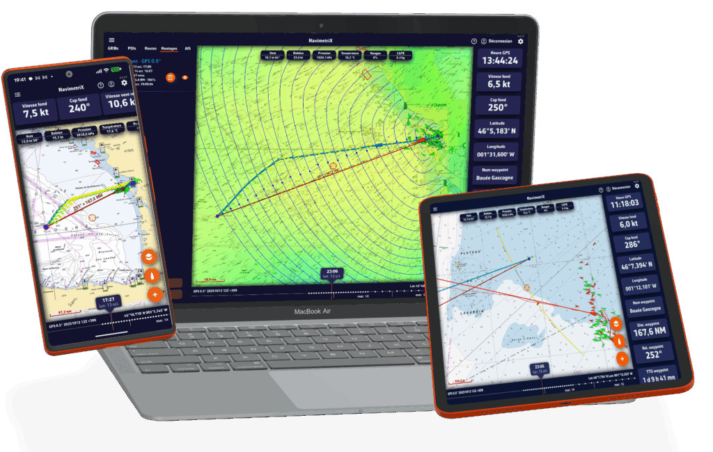
Navimetrix is a multi-platform app
Navimetrix is a sophisticated marine navigation and weather-routing app built for every sailor, from weekend cruisers to elite offshore racers.
Navimetrix is a multi-platform app meaning that you can use Navimetrix on iOS (iPad/iPhone), Android, PC, Mac, Linux, etc. You can plan on your laptop at home and continue navigating with the same data on your tablet or phone on board.
A weather & routing app
Navimetrix provides comprehensive marine weather forecasts covering wind, waves, pressure, currents, and more, using multiple forecast models to ensure accuracy.

It also features advanced weather routing that automatically calculates the safest and most efficient route based on real-time conditions and your boat’s polar performance.
Navimetrix includes detailed marine charts from official chart providers such as GeoGarage (via external subscriptions) and offers seamless cloud synchronization, keeping your routes, projects, and settings synced across your phone, tablet, and computer. GeoGarage use approved hydrographic office charts as their data source for assurance, reliability and accuracy and are remarkably competitive.
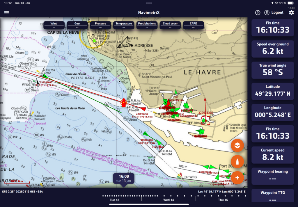
Navimetrix display real-time AIS & instruments data

The app supports real-time navigation, displaying course, speed, track, laylines, ETA, and performance data, while also offering full boat instrument integration.
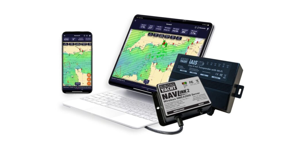
That’s possible with a Digital Yacht NavLINK2 product (for any NMEA 2000 based system) or even with a Digital Yacht WLN series NMEA 0183 to wifi adaptor for older, legacy systems. Digital Yacht has got your devices connected to next generation apps and software across multiple platforms.
Navimetrix can also display AIS targets in real time giving you a clear and reliable view of the surrounding traffic. For each detected vessel, the application shows detailed target information including MMSI number, vessel name, call sign, target type, course, speed, and navigational status.
In addition to simple visualization, Navimetrix actively calculates CPA (Closest Point of Approach) and TCPA (Time to Closest Point of Approach) using the live AIS and GPS data received from your Digital Yacht equipment. This allows the app to generate collision-risk alarms, helping you anticipate potential dangers and navigate with greater safety and confidence, whether sailing coastal waters or offshore passages.
How to connect and benefit from realtime NMEA & AIS data?
This video below explains how to receive NMEA data in Navimetrix.
