


Earlier this week, we were giving some advice to a customer who wanted to add an AIS receiver to his Garmin 4008 chart plotter and at the same time go wireless and get GPS and AIS data to his iPad.
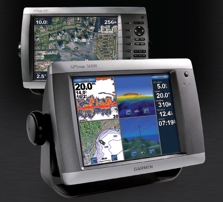
The Garmin 4000 and 5000 series chart plotters were very popular and powerful units and although there are now newer Garmin Chart Plotters available, there are a lot of people who use these units and who may also be considering adding an AIS or going wireless.
With NMEA2000, four NMEA0183 inputs and two NMEA0183 outputs there are plenty of interfacing options on these Garmin units, but to keep things simple we suggested using our iAIS receiver (with built-in wireless NMEA server) to both provide AIS data to the Garmin 4008 via one of the NMEA0183 inputs and send the same data wirelessly to the iPad.
To ensure the best possible GPS reception, where ever the iPad was used and to allow the Garmin instrument data (speed, depth, wind, etc.) to be repeated on the iPad, we also suggested taking an NMEA0183 Output from the Garmin 4008 back to the iAIS which would then combine this GPS and Instrument data with its own AIS data and send everything wirelessly to the iPad.
One of the NMEA0183 ports on the Garmin 4008 was already being used to provide position data to a DSC VHF radio so we used the output of Port 2 to send the GPS and Instrument data to the iAIS and then connected the iAIS output to the Input of Port 4 on the Garmin 4008 – click on the diagram below to see the exact wiring.
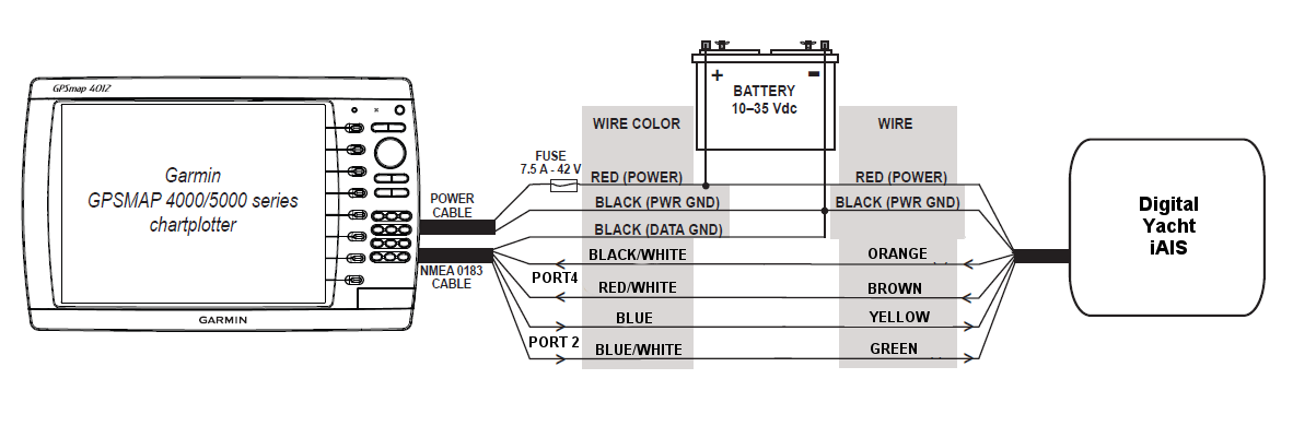
The only menu setting that we had to change on the Garmin 4008, was to set Port 4 to the High Speed NMEA baud rate of 38400 and everything was good to go.
It the Garmin had already been connected to another make of AIS or the customer had wanted to fit a transponder, then one of our WLN10HS units could have been added to the second NMEA0183 Output to go wireless or alternatively one of our NavLink units could have been connected to the NMEA2000 network.
With wireless NMEA data now available on his iPad, it was just a case for this customer of choosing one of the many Navigation Apps that are available for the iPad and he could start to use his iPad as a full function chart plotter. Click here to see our previous post on iOS Apps.
